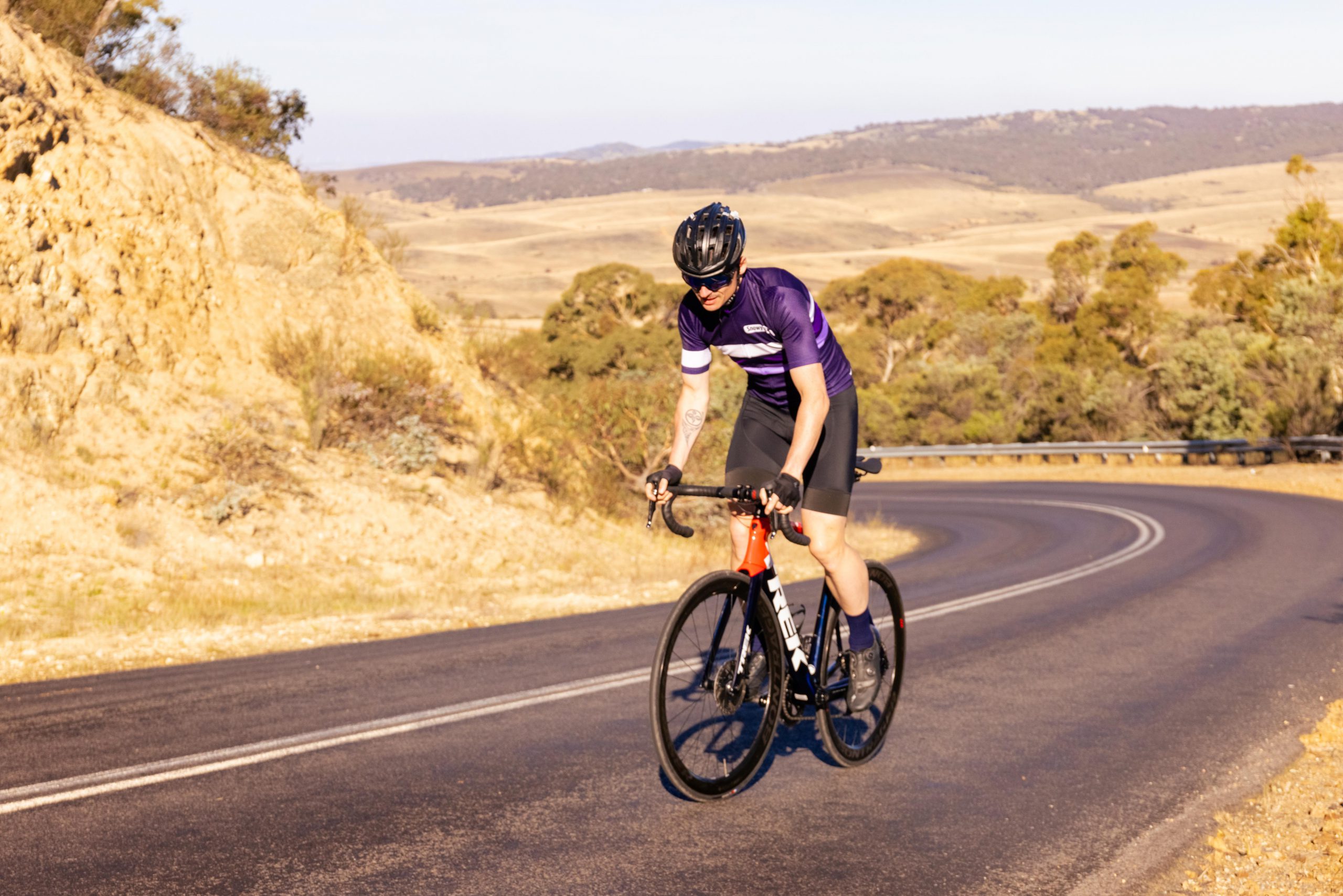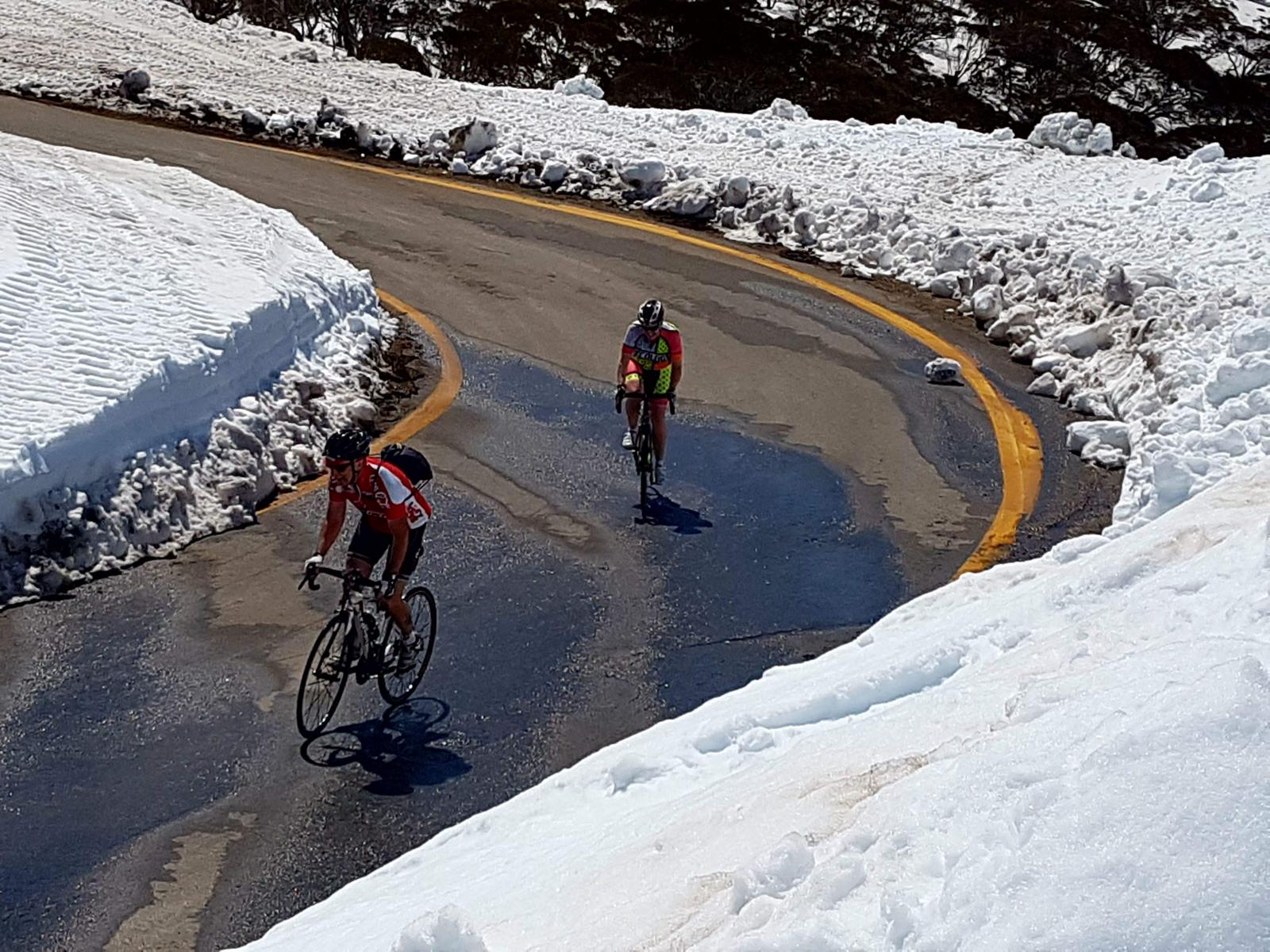
Make a week out of your Snowy Classic trip! Challenge yourself to conquer not only the Snowy Classic course but one of Australia’s best climbs, the Thredbo to Tom Groggin ride.
Karen Forman – Thredbo to Tom Groggin and back.
Where: Alpine Way
Distance: 45km return
Elevation gain: 1493 metres
Maximum elevation: 1589 metres
Gradient: 6% average. 15% top.
Most well-known rides start at the bottom of climbs, head up a hill (or a mountain) to a designated turning point, and then come back down. My favourite climb in the NSW Snowy Mountains goes the other way. What goes down, must come up…right?
Soon after I moved to the Snowy Mountains of NSW the words of the local cycling club president started to echo in my ears: “There are no flats around here. You watch, you will grow to enjoy climbing.’’

Stunningly, he was right. I grew to love the climb from Jindabyne to Charlottes Pass (84km, 900 metres to 1800 metres). Then, I found another climb that is even more challenging, more scenic and more rewarding That one is Thredbo to Tom Groggin to Thredbo and it’s 45km with 1493 metres of climbing.
The Tom Groggin ride involves a ski resort. In this case, Thredbo village at 1365 metres, but with ski and mountain bike runs and routes spread to Australia’s tallest mountain, Kosciuszko, at 2228 metres.
The bustling alpine village is a good place to start your ride. Park the car at Friday Flat, grab an energy-giving espresso at the Bakery or the Avalanche Café, and head back up the hill onto the Alpine Way and turn right towards Khancoban which is 77km away.
Tom Groggin is a campground on the banks of the Murray River at 531 metres. The region has a cattle property which has operated since the mid-1800s. It was visited by Banjo Paterson and offers farm stays.
Before you get there, however, you will climb up the Great Dividing Range to 1580 metres and encounter a narrow road with steep drop-offs, hairpin bends, and rough patches of bitumen from being under snow for most of the winter. You will ride through thick forests and see both blackened trees from the summer 2020 bushfires and bright green new growth.
You will find your phone has no service for most of it. That and you will see few cars but perhaps a lot of motorcyclists, and may encounter the odd slow-moving caravan.

GOING OUT (AND DOWN)
Heading out of Thredbo, you will head straight up the hill, so get that granny gear ready. Past the warning sign indicating there are no services until Khancoban, past the 80km signs, and the road narrows and loses its white centre line.
With the ski fields (or MTB trails in summer) on your right, you will climb steadily, noting the snow markers on both sides of the road. This road is usually open in winter but typically under snow and is very icy, especially between the Cascades and the Wattles.
Climb on and listen to the Thredbo River on your right, check out the snow gums on both sides of the road. Watch for the brumby warning sign, too, you may well ride into their dung or see some on the sides of the road, along with deer, kangaroos, wombats and echidnas.
Four kilometres in, you will reach the Cascades carpark at Dead Horse Gap, where two well-known hiking trails begin. You can also ride a mountain bike on the Cascades road to the famous Cascades Hut, part of the Australian Alps Walking Trail.
From here, you will climb steeply to 1580 metres, enjoy a brief flat respite, then continue for another two kilometres on a very windy road.
Welcome to Siberia! Yes, we have Siberia in Australia and it is 7.5 km into your ride. After this, there’s a steep descent that totals a glorious 8km.
At 9.3km, you might find some strength in those brake weary hands to stop at Pilot Lookout for stunning views of the valley. Yay for guardrails, there is a steep drop to the left and the road surface is somewhat bumpy right on a sharp left hairpin turn.
At 10.5km you will reach the Wattles where you will your brakes will get another workout. Watch for sticks, bark and stones on the road.
There is a steep tight pinch at 14km and then a chance for a quick break at Leather Barrel Creek rest area before another knuckle-wrenching descent to a one-lane bridge followed by a 15kph corner. From here there’s 1km of climbing, then another full 7km of descending to the Tom Groggin Camp at 528 metres.
COMING BACK (AND UP)
It has been said by many, that the climb out of Tom Groggin is probably the toughest climb of the ride.
This is where the gradient nudges 15%. There are steep pinch turns and no chance to rest for about 7km. Then, at the 30km mark, you will be blessed with a 1km descent to cross Leather Barrel Creek again. You will keep climbing until you reach The Wattles.
Good news though, the final 5km is downhill to Thredbo. And any number of venues serve up great food and cold beer.
Karen’s Climbing Tips & Local Knowledge
1 You are riding in an alpine area, so check the weather! We can have snow, lightning storms, high wind, rain. Make sure you have wet and warm weather gear.
2 Let someone know where you are going and when you expect to be back. This is a remote area and phone service is barely there from Thredbo onwards. It may not be possible to call for help.
3 Take plenty of water and wear sunscreen especially in summer, when the temps can get up around 35 and the UV rating beyond 10. You can get water out of the Thredbo, Leather Barrell Creek and the Murray River at Tom Groggin, but you might want to take some purification pills.


